|
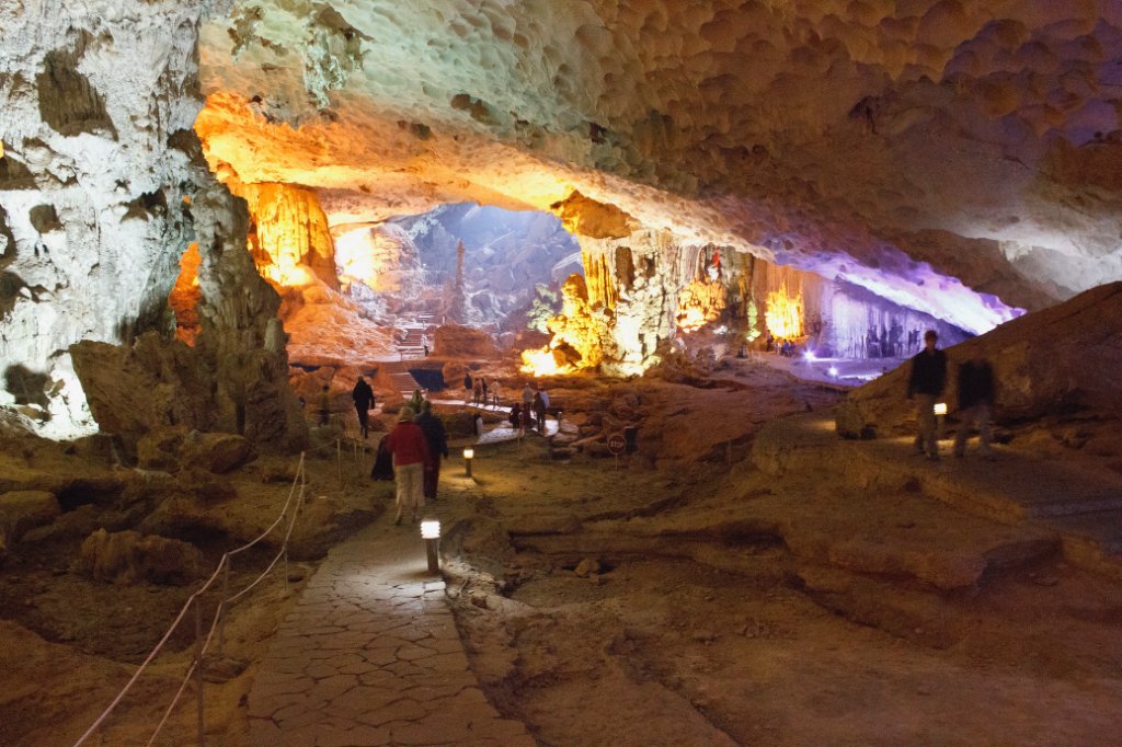 |
| Sung Sot cave | |
| Latitude: N 20°50'38,89" | Longitude: E 107°5'28,69" | Altitude: 32 metres | Location: Sung Sot Cave | City: Ha Long | State/Province: Quang Ninh | Country: Vietnam | Copyright: Ron Harkink | See map | |
| Total images: 16 | Help | |
|
|
|
| Sung Sot cave | |
| Latitude: N 20°50'38,89" | Longitude: E 107°5'28,69" | Altitude: 32 metres | Location: Sung Sot Cave | City: Ha Long | State/Province: Quang Ninh | Country: Vietnam | Copyright: Ron Harkink | See map | |
| Total images: 16 | Help | |